For Land Surveyors
Know the planning context before you quote the plan.
Subdivision feasibility, minimum lot size per schedule, frontage constraint, lot shape classification, adjacent parcels, all in the same response you already need for the survey brief.
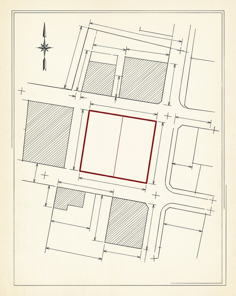
Status quo
What eats your prep time
-
01
Client sends a parcel
Wants to know if it can be subdivided.
-
02
You pull cadastre
Lot area, boundaries, frontage — 2 minutes.
-
03
Planning context takes 20
Zone? Schedule minLotSize? Overlays? Garden area? Easements across the lot? Adjacent parcels for consolidation?
-
04
You quote anyway
Sometimes under-priced because you missed a constraint. Sometimes over-priced because you didn't know the schedule was favourable.
The lookup
What the lookup returns for surveyors
- 01 Lot areaState cadastre · PFI 507083 969 m²
- 02 Frontage · depthState cadastre · regular lot 12 × 80.8 m
- 03 Zone & scheduleCl.32.10 · Stonnington HCTZ1
- 04 Max heightCl.32.10 · mandatory 13.5 m
- 05 Street setbackResCode Cl.55 · estimated 6 m
- 06 Side & rear setbackResCode Cl.55 1.87 m
- 07 Site coverageCl.32.10 · 581 m² 60%
- 08 OverlaysCl.43.01 + Cl.45.06 · permit HO396 · DCPO1
One call, one real address. Geometry is indicative; every value is the live answer. Garden area is absent because HCTZ1 has no garden-area requirement — we don’t invent a control to fill a row.
Lot geometry from the state cadastre, the schedule minimum from the zone provision, and the overlay that will shape any application. We do not compute a lot yield here — that depends on layout and access, and a number invented from area ÷ minimum would be a guess dressed up as an answer.
Lot area + frontage + shape
Regular / moderate / irregular / battle-axe. Compactness ratio. Aspect. Width-to-depth. All from live cadastre.
Schedule-specific minLotSize
Not the zone default — the council's schedule. With confidence tag and last-verified date.
Subdivision yield indicator
Realistic lot count given garden area, coverage, setback, frontage, and shape constraints.
Easements on the parcel
Detected via the easement layer, clipped to parcel boundary. Not “nearby”.
Adjacent residential parcels
For consolidation potential. Combined area and individual parcel details.
Heritage, bushfire, flood, heritage overlays
All in one response. No stitching together 6 map portals.
Before / after
What you can quote the same day
Without Feasibly
~30 min per enquiry
- Open state planning portal
- Identify zone, cross-check schedule
- Look up overlays one at a time
- Check heritage register
- Compute potential lot yield by hand
- Write quote
With Feasibly
~2 min per enquiry
- Lookup address
- Yield + envelope + constraints in one structured response
- Quote confidently — you already know the schedule
Footnotes
What surveyors ask
- Is this a replacement for a formal feasibility?
- No. It's a screening layer that tells you whether a formal feasibility is worth doing, and what to look at first.
- Does it read through DDO schedules for height?
- Partially. The zone schedule's height is resolved with confidence. DDO-imposed height overrides are flagged but not yet fully parsed for every council.
- Can I export a report?
- Yes, branded 3-page PDF per lookup on the Scale tier.
Try it on 20 addresses this month. Free.
No credit card. Upgrade only if you need more.
See vs Manual Lookup →